
Rain is expected in Lapland for the rest of the week. The largest rainfall falls in Southern and Western Lapland.
The flow of the Simojoki River is predicted to rise in the coming days. Rain is expected in Lapland for the rest of the week. The largest rainfall falls in Southern and Western Lapland. Rain can come as water, sleet or snow.
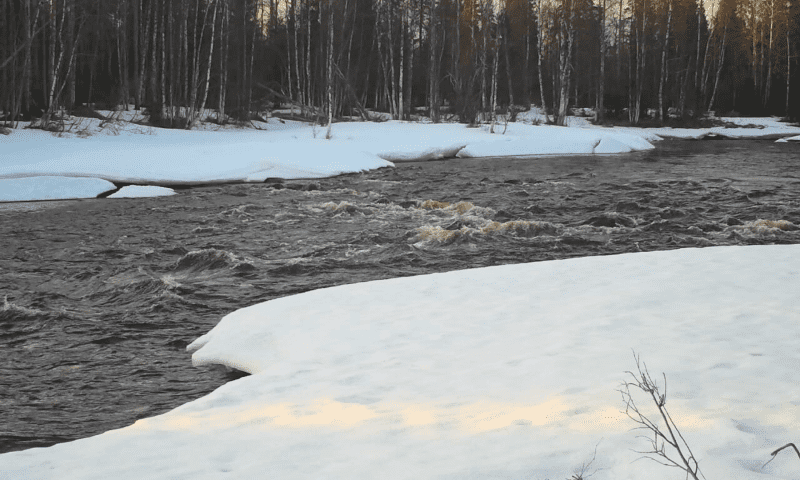
According to the Ely center, this can be seen as an increase in flood flow, especially in Simojo. However, the cooling weather at the end of the week may slow down or stop the rise of the flow, and the flood peak of the river is predicted to be lower than usual. According to the ely center, the flood peak can also be so-called double-peaked.
The ice on Simojoki is predicted to leave in the next 3-4 days. There are already thawed areas in Simojoki and the ice cover has weakened.
In other water bodies of Lapland, the flood peak is predicted towards the end of May with a normal size. Some of the observation stations are already seeing a slight rise in the water level.
A bigger flood can occur in Tornionjoki, whose catchment area has a little more snow than usual. On the Tornionjoki in Karungi, the ice is predicted to leave at the beginning of May.
According to the Ely Center, Lapland’s regulated lakes are starting to reach their lowest spring water levels. The cold weather delays the rise of the water level in them.
The next time the authorities will inform about the flood situation is after May Day.